
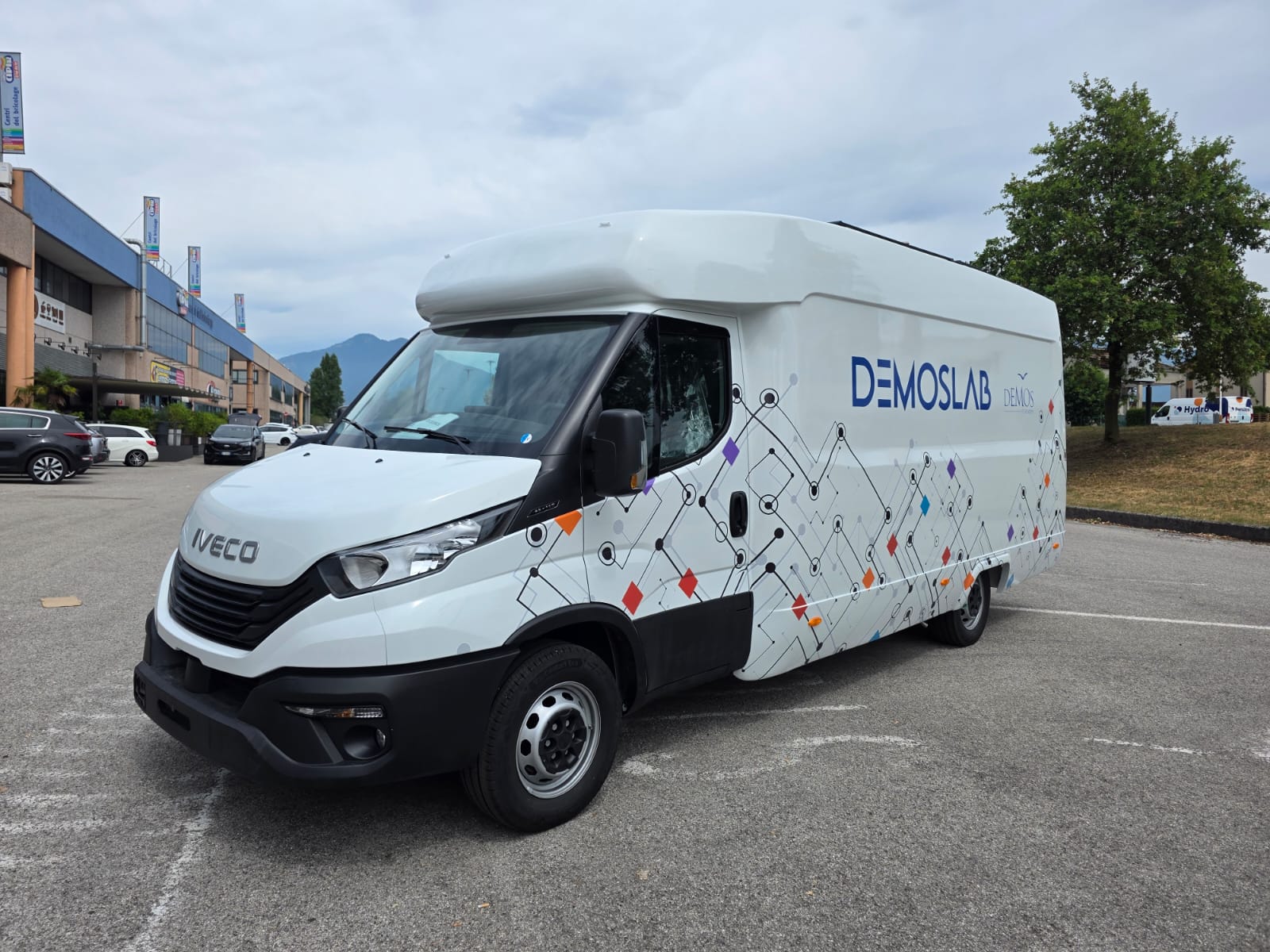
← Mobile Labs
The attentive gaze that caresses the asphalt.
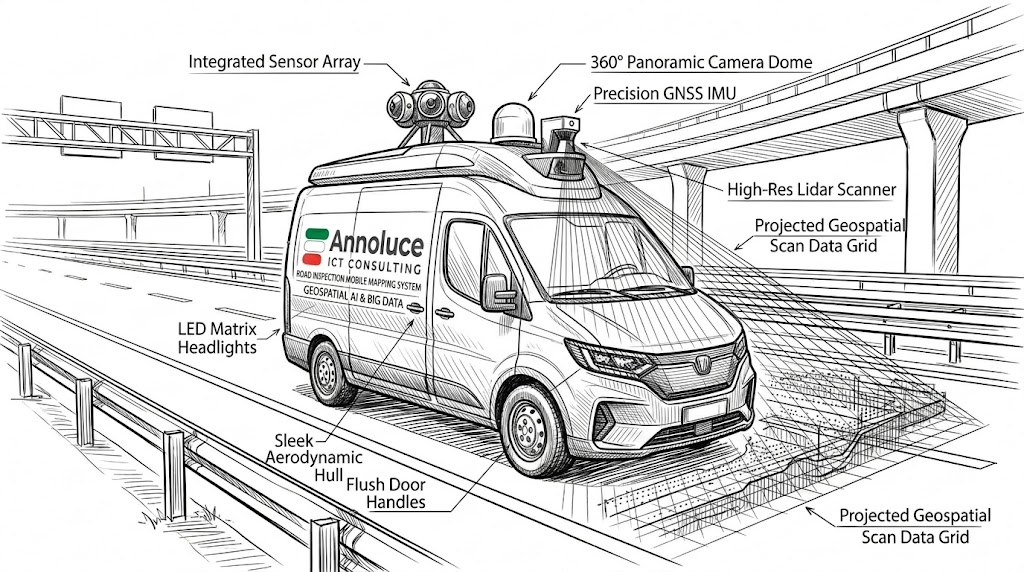
Eyes wide open on our road arteries. Constantly on the move, these labs read the road, collect data and prevent: the journey itself becomes the most valuable and precise measuring instrument.
Ideal for road and motorway operators.
Mobile mapping•Laser scanner•360° cameras•GNSS / IMU•Geospatial AI & Big Data•Mobile mapping•Laser scanner•360° cameras•GNSS / IMU•Geospatial AI & Big Data•Mobile mapping•Laser scanner•360° cameras•GNSS / IMU•Geospatial AI & Big Data•
The benefits
Value in the field
Autonomy
Surveys carried out on the move, at network speed, with no roadworks or traffic closures.
Modularity
Sensors configurable for the type of infrastructure and survey goals.
Connectivity
Continuous transmission of collected data to processing platforms.
Integration
Georeferenced data compatible with GIS, BIM and infrastructure management systems.
Why it exists
The challenges of infrastructure monitoring
Diagnosing infrastructure health kilometre after kilometre is key to planning maintenance. Traditional surveys are slow, costly and invasive: Annoluce brings them to network speed.
Traditional limits
Slow manual surveys
Few kilometres per day, high costs
Closures and roadworks
Traffic disruption and risks for operators
Non-georeferenced data
Hard to compare surveys over time
Reactive maintenance
Action only after visible deterioration
The Annoluce solution
Survey on the move
Continuous scanning at network speed
Zero traffic impact
No closures, no roadworks
Georeferenced data
Millimetric precision with GPS, IMU and odometric encoder
Predictive maintenance
Deterioration detected before it becomes critical
Innovation and technology
Geospatial AI & Big Data on wheels
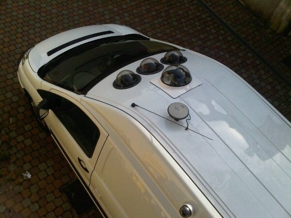
A complete mobile mapping system: data acquisition, processing and analysis right on board. Pioneers in the sector since 2004.
High-resolution laser scanners
3D scanning of pavements and tunnels, with millimetric reading of the surface.
Progressive and panoramic cameras
Complete visual documentation of the route, synchronised with scan data.
GPS, IMU and odometric encoder
Precise positioning of every surveyed point, even in tunnels thanks to the inertial platform.
AI pavement analysis
Automatic detection of cracks, depressions and deterioration across large datasets.
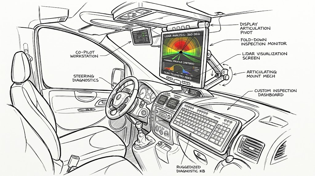
On-board technology
Explore the vehicle
The complete architecture to ensure continuous operation and maximum connectivity even in the most remote areas.
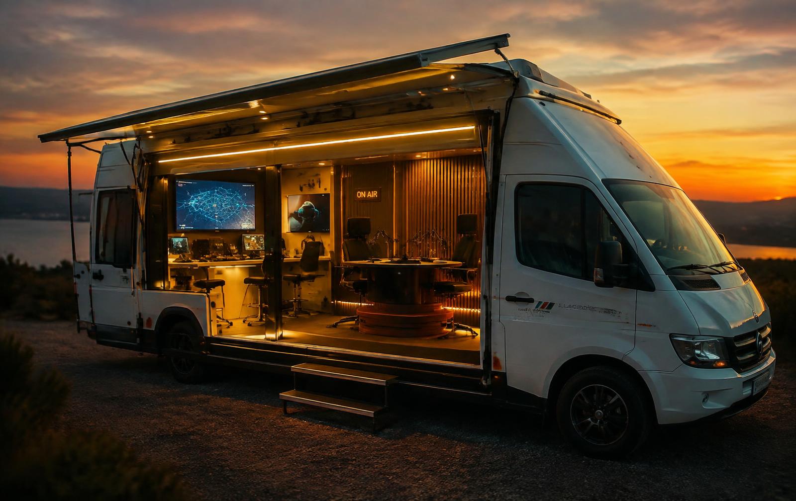
Illustrative image – interactive vehicle view coming soon.
Design your solution
Together we can configure the mobile lab best suited to your operational needs and your fleet.
What sets it apart
Why this solution is different
01
Millimetric precision
Geodetic-class sensors for reliable, repeatable surveys.
02
Network speed
Kilometres of survey in hours, not weeks.
03
GIS-ready data
Output compatible with existing geographic information systems.
04
Experience since 2004
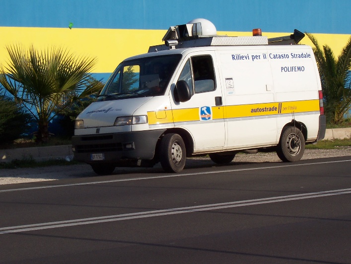
Mobile Mapping pioneers with ANAS's Road Cadastre project.
Connectivity and on-board systems
How everything is connected
Advanced data processing and transmission systems ensure top-level operation in any scenario, keeping the field team in touch with base.
High-performance AI workstation
The computing power you need right in the field: processes maps, images and digital twins without relying on the cloud.
Starlink System
5G network combined with Starlink satellite connectivity, automatically activated in remote areas.
Internal network
Industrial-grade infrastructure with Wi-Fi outside the vehicle too and Ethernet for all on-board instruments.
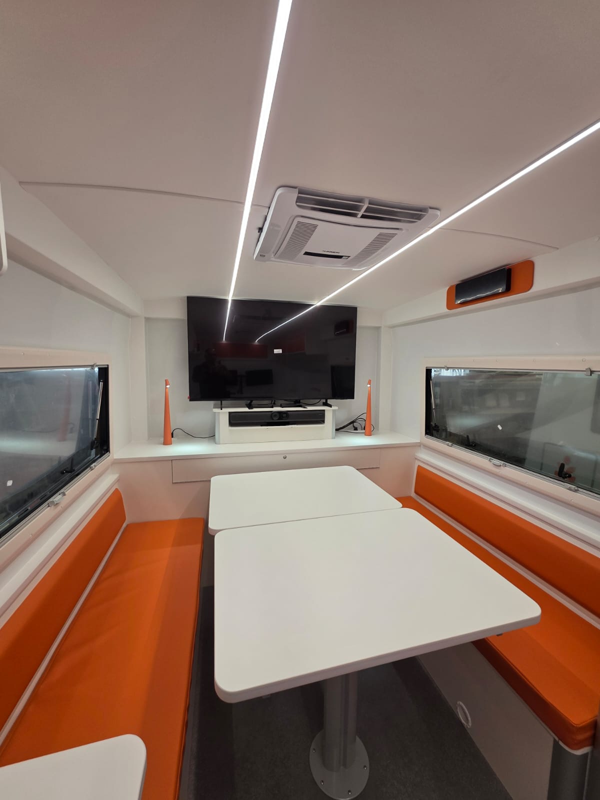
Mobile control room
Video conferencing with high-resolution cameras and live drone feeds to collaborate with engineers at HQ.
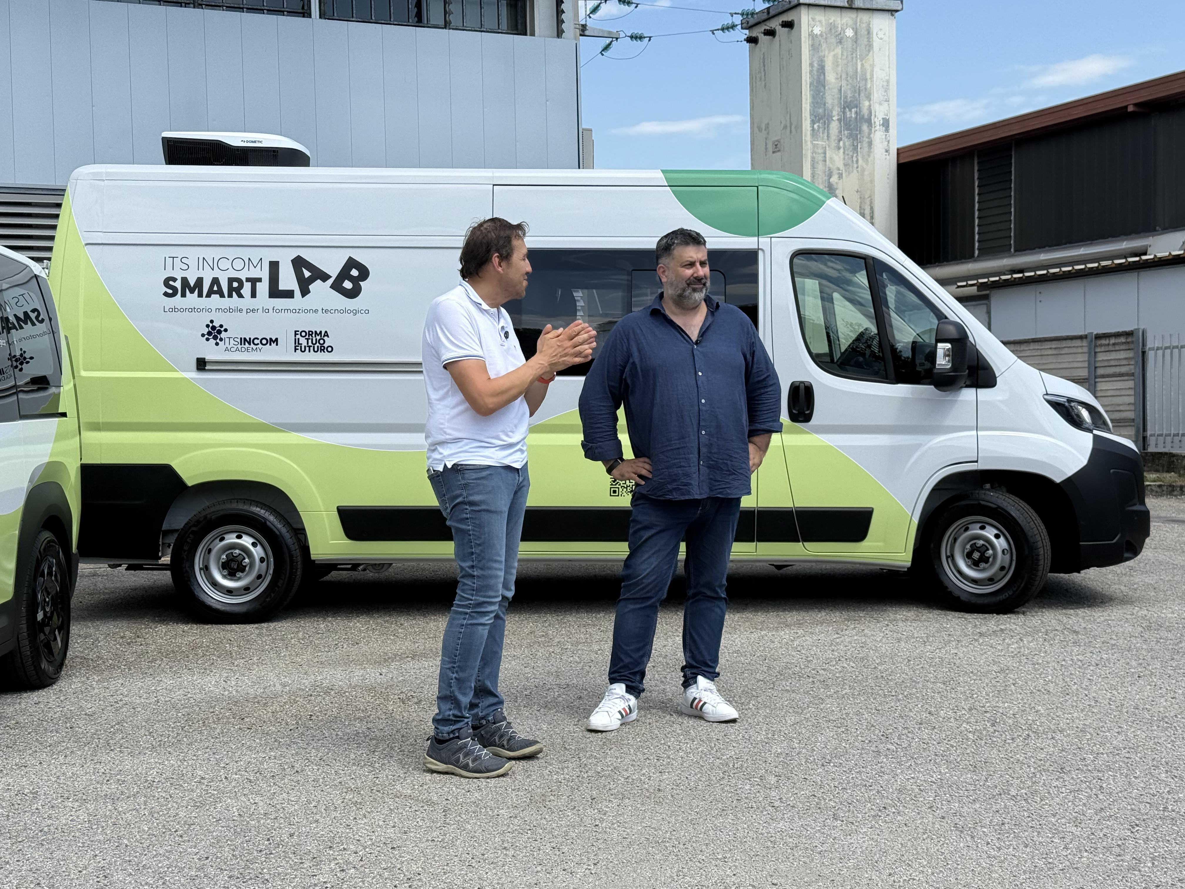
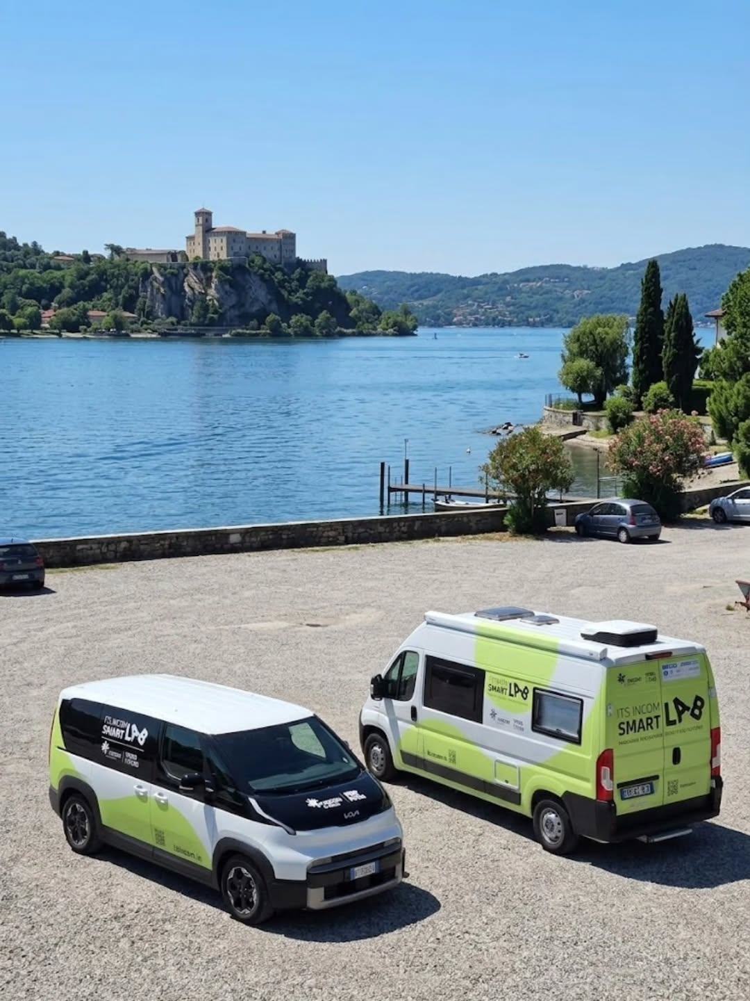
Design and support
From idea to road
We design, build and test tailor-made mobile labs, following every phase and providing support after delivery.
Design
Needs analysis, concept and technical design.
Technical direction
Coordination and supervision of every build phase.
Testing
Technical and functional checks before commissioning.
Support
Technical support after vehicle delivery.
Case history
Portfolio of vehicles delivered
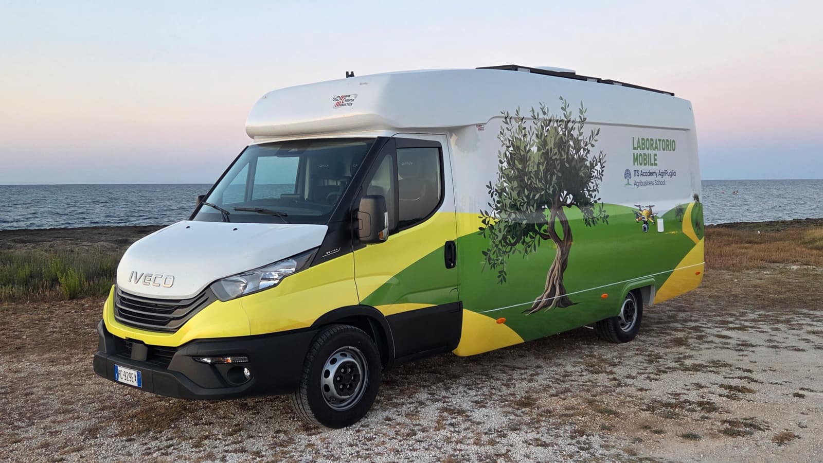
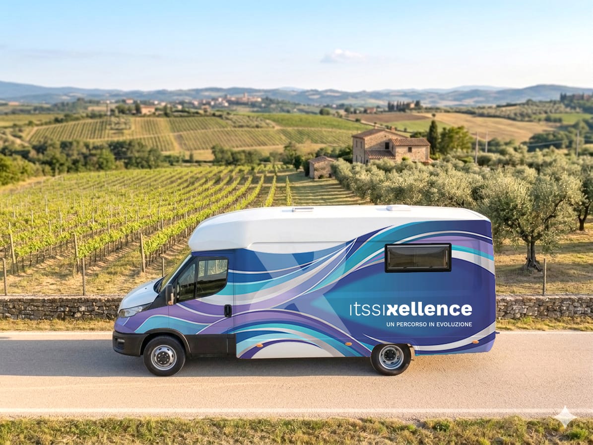
Discovery & Senseable Labs
Lab Sensoriale
ITS Agroalimentare Puglia – Locorotondo (BA)
Discover the type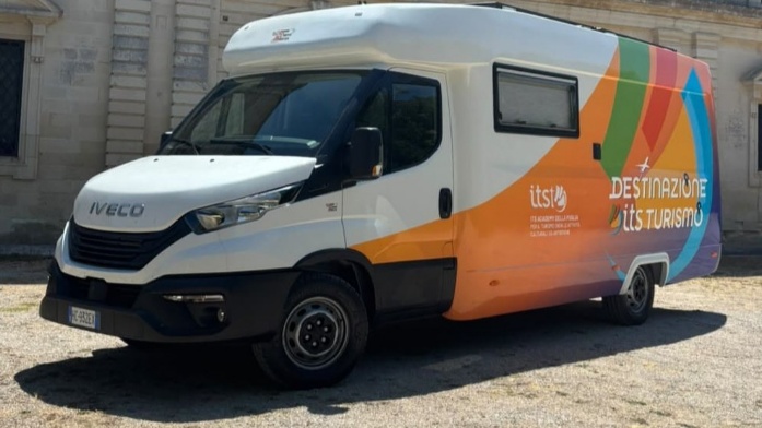
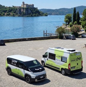
Discovery & Senseable Labs
Lab Sensoriale
ITS Agroalimentare Puglia – Locorotondo (BA)
Discover the type